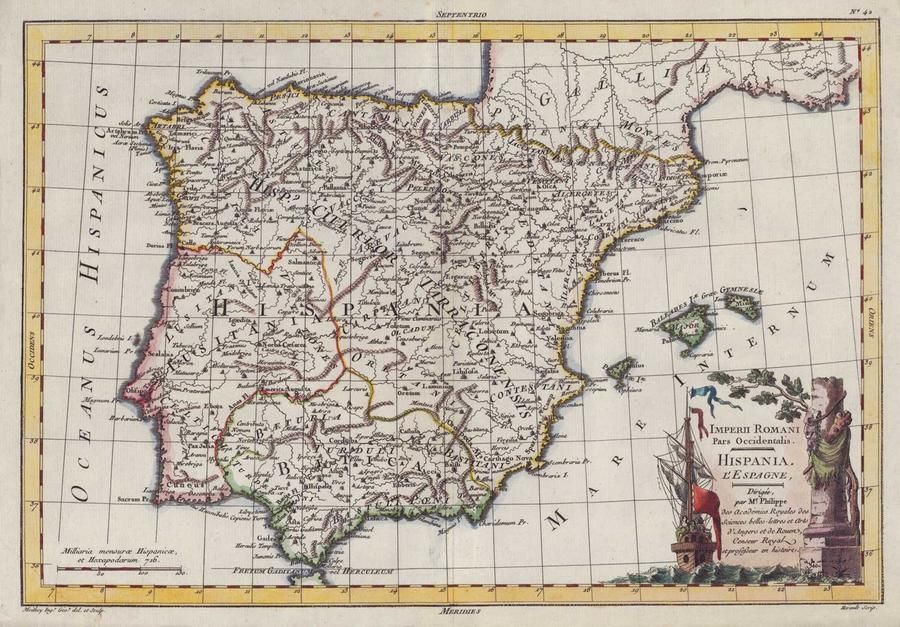
Imperii Romani Pars Occidentalis: Hispania Map (c.1780)
You must be a subscriber, and be logged in to view price and dealer details.
Subscribe Now to view actual auction price for this item
When you subscribe, you have the option of setting the currency in which to display prices to $Au, $US, $NZ or Stg.
This item has been included into following indexes:
- maps - general 445
Visually similar items
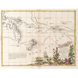
Nuove Scoperte, Fatte nel 1765, 67, e 69 nel, Mare Del Sud' by Antonio Zatta [Venice, 1776], window mounted, overall 57 x 49 cm. Tooley 1431.

Robert Wilkinson pub, after, map of China 1809 hand-coloured engraving 24 x 29.5 cm

i) map: Western Australia and van-Diemen's Island. Containing the settlements of swan river and King George sound from recent surveys sent to the Colonial office. the other section of the map depicting 'Van-Diemen Island', published London 1833 by Baldwin

(World map) Heinrich Robert / F. A. Schraembl, 1789, Generalkarte soemmtlicher Entdeckungen auf den drei Grossen Weltreisen des Kapit Jacob Cook. Two sheets, each 49 x 60 cm to the printed margins. Large world map showing the routes of three voyages made b