Cook's Three Voyages World Map (9 words)
You must be a subscriber, and be logged in to view price and dealer details.
Subscribe Now to view actual auction price for this item
When you subscribe, you have the option of setting the currency in which to display prices to $Au, $US, $NZ or Stg.
This item has been included into following indexes:
Visually similar items
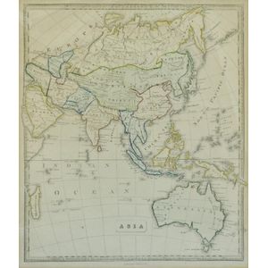
Map, 'Asia (including Australia) 1839.' Allan, Bell & Co. 1837. Engraving. 35 x 30 cm

Map, 'Royaume de Hongrie et Pays Adjacents,' par M.Bonne, Andre Scul. Engraving. 25 x 36 cm

Benard, Robert (Paris, 1774), Carte d'une partie de la Mer du Sud Contenant les Decouvertes de Vaisseaux de sa Majeste: Le Dauphin, Commodore Byron, la Tamar, Capitne Mouats, 1765. Le Dauphin, Capitne Wallis, Le Swallow, Capitne Cartaret, 1767. et l'Endeav

Thomes Bowen (?-1790) A new and Accurate map of Asia, drawn from the most modern Maps and Charts, 1799 Handcoloured & engraved, for Middletons complete System of Geography 32.5 x 42.5 cm