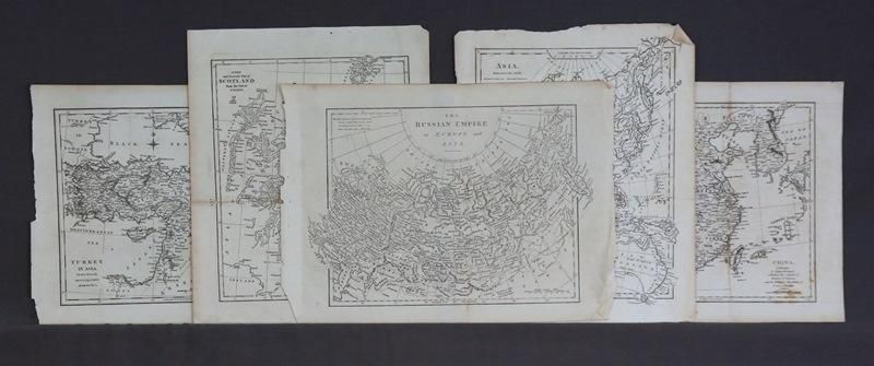
Early Australian and World Maps (8)
You must be a subscriber, and be logged in to view price and dealer details.
Subscribe Now to view actual auction price for this item
When you subscribe, you have the option of setting the currency in which to display prices to $Au, $US, $NZ or Stg.
This item has been included into following indexes:
- maps - general 445
Visually similar items

Maps (2), world and Hemispheres. Map of the world Mercators projection by Johnson, pub. By Johnson and Ward, NY 1863; and the century Atlas Hemispheres, pub. By century Co. NY 1897. Steel engraving (2). 42 x 64 cm and 28 x 39 cm

Book, 'Arthur Rackham's Book of Pictures,' published William Heinemann, 1923, with dust jacket

Map, L'Asie Divisee en ses pair of incipaux Etats. Mapmaker, Jean Janvier, pub. Paris 1760. Hand coloured engraving. 49 x 6 8 cm

Maps (2), Brasil and Guayana; and Cuba, Jamaica and Porto Rico. Pub. NY c.1856 J.H.Colton & Co. Hand coloured steel engraving (2). 42 x 34 cm and 32 x 40 cm