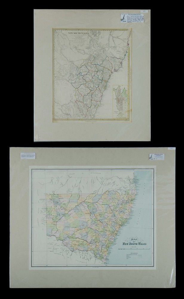
Early Maps of New South Wales, 1833-1886
You must be a subscriber, and be logged in to view price and dealer details.
Subscribe Now to view actual auction price for this item
When you subscribe, you have the option of setting the currency in which to display prices to $Au, $US, $NZ or Stg.
This item has been included into following indexes:
- maps - general 445
Visually similar items

Maps, two early Maps of Australia. A chart exhibiting recent discoveries from Cook?s Voyages torn at top, together with map of new Holland and Asia, together with 6 other maps Scotland, china etc c.1800. Maps (8). 32 x 27 cm (average)

Map, a new and Accurate map of Asia. Thomas Bowen, London. Pub. C.1790. Copper engraving & hand coloured. 33 x 4 3 cm

B J Loveday Survey of Roads, Cape Jervis to Clare, lithograph, vintage, c1900, glazed in frame, 59 x 66 cm

Map, Mar Del Zur Hispanis Mare Pacificum. Jan Jansson mapmaker, published Amsterdam 1650. Hand coloured engraving. 44 x 5 5 cm