19th Century Scotland and Wales Maps by S. Hall
You must be a subscriber, and be logged in to view price and dealer details.
Subscribe Now to view actual auction price for this item
When you subscribe, you have the option of setting the currency in which to display prices to $Au, $US, $NZ or Stg.
This item has been included into following indexes:
- maps - general 445
Visually similar items

1788-1929 range of maps, noted 'Carte De La Terre Van-Diemen' by Bonne [Paris, 1788], 'Het Eiland Norfolk' from Dutch edition of Cook's Voyages [London, 1788], 'Track of the Bounty's Launch from Tofoa to Timor by Lieut. William Bligh 1789' [London, 1790],
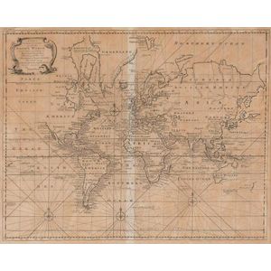
A New & Correct Chart of all the Known World by Emanuel Bowen [London 1744]. 46 x 38 cm

Pan Yasheng 1852-1921 Maidens at leisure ink and colour on paper, pair of hanging scrolls in the style of Kai Chi each signed Pan Yasheng, inscribed and dated to the 12th year of Guangxu, and with two seals (2), 128 x 32.5 cm (each). Provenance: Martin Fun

Maps, two early Maps of Australia. A chart exhibiting recent discoveries from Cook?s Voyages torn at top, together with map of new Holland and Asia, together with 6 other maps Scotland, china etc c.1800. Maps (8). 32 x 27 cm (average)