Antique Australian Maps Collection
You must be a subscriber, and be logged in to view price and dealer details.
Subscribe Now to view actual auction price for this item
When you subscribe, you have the option of setting the currency in which to display prices to $Au, $US, $NZ or Stg.
This item has been included into following indexes:
- maps - general 445
Visually similar items

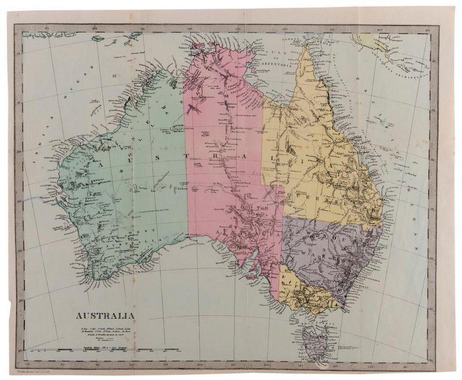
Maps: Group of 10 maps of Australia, late 19th & early 20th century including Van Diemen's Land. Various sizes

Map: 'Imperii Romani Pars Occidentalis. Hispania. L'Espagne' engraved map published by Moithey [Paris, c1780], size 44 x 28 cm.

C1853 Goldfields map of Victoria drawn and engraved by J.Bartholomew (Edinburgh), Unframed, 32 x 43 cm

Map: Western Australia and van-Diemen's Island a map of Western Australia containing the settlements of swan river and King George sound from recent surveys sent to the Colonial office. The other section of the map depicting van-Diemen Island, published Lo