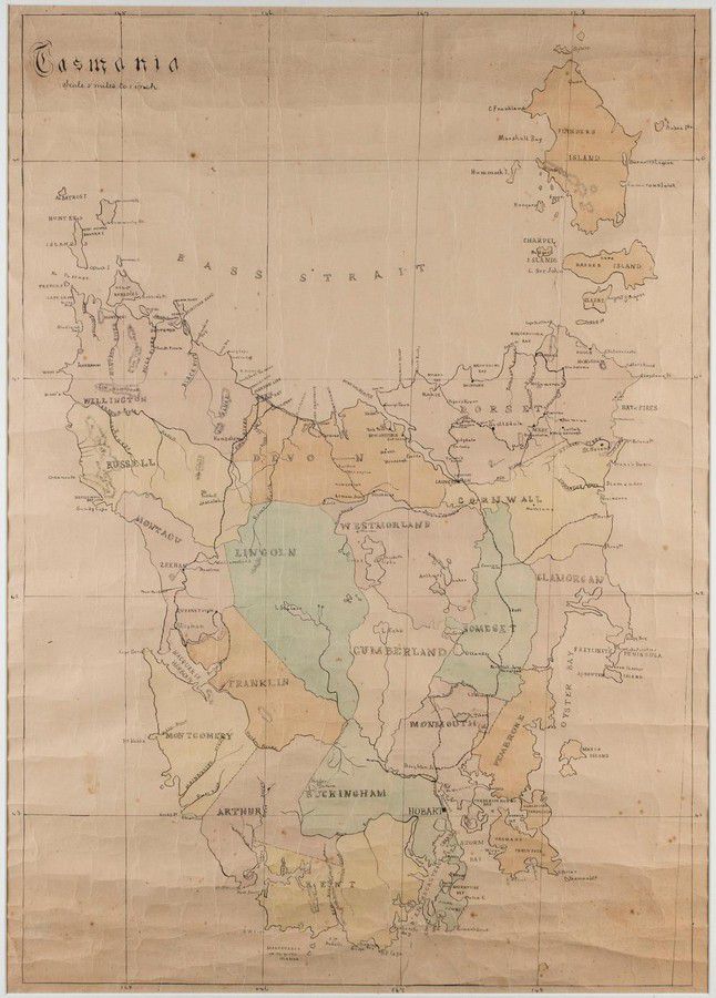
Hand-Coloured Map of Former Counties in Tasmania
You must be a subscriber, and be logged in to view price and dealer details.
Subscribe Now to view actual auction price for this item
When you subscribe, you have the option of setting the currency in which to display prices to $Au, $US, $NZ or Stg.
This item has been included into following indexes:
- maps - general 445
Visually similar items

Map of part of the Morobe District New Guinea Mandated Territory and of the Gulf and central Div. 1933-1935. Drawn by J. Nason-Jones, printed by H.E.C Robinson Ltd, 221-3 George Street, Sydney
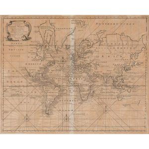
A New & Correct Chart of all the Known World by Emanuel Bowen [London 1744]. 46 x 38 cm
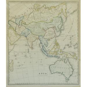
Map, 'Asia (including Australia) 1839.' Allan, Bell & Co. 1837. Engraving. 35 x 30 cm

Thomes Bowen (?-1790) A new and Accurate map of Asia, drawn from the most modern Maps and Charts, 1799 Handcoloured & engraved, for Middletons complete System of Geography 32.5 x 42.5 cm