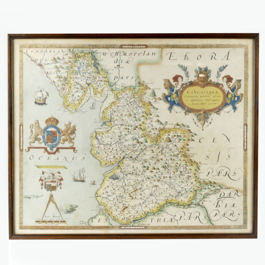
Early English Maps: Saxton and Speed
You must be a subscriber, and be logged in to view price and dealer details.
Subscribe Now to view actual auction price for this item
When you subscribe, you have the option of setting the currency in which to display prices to $Au, $US, $NZ or Stg.
This item has been included into following indexes:
- maps - general 445
Visually similar items

Antique map dated 1690 by Richard Brome of south Wales, approx 38 cm x 47 cm

Map, India Orientalis. Published c.1570 Abraham Ortetius. Some restoration to centre fold. Hand coloured engraving. 35 x 5 0 cm

Map, Indiae Orientalis nec Non Insularum Adiacentium Nova Descriptio. Map maker Nicholaus Visscher, pub. Amsterdam, 1670. Hand coloured engraving. 48 x 5 8 cm

Antique framed needlework, depicting a bird and flowering plant, 102 cm x 75 cm