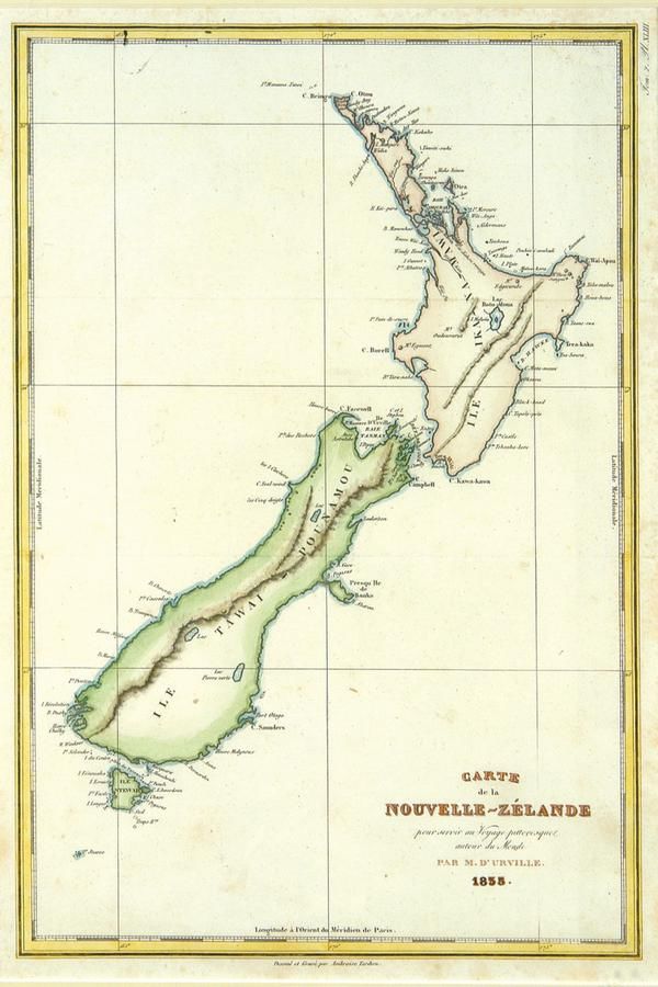
1835 Map of New Zealand by Ambroise Tardieu
You must be a subscriber, and be logged in to view price and dealer details.
Subscribe Now to view actual auction price for this item
When you subscribe, you have the option of setting the currency in which to display prices to $Au, $US, $NZ or Stg.
This item has been included into following indexes:
- maps - general 445
Visually similar items

'Carte De La Nouvelle Zelande Vifite'e En 1769'. By Lieutenant J Cook, Commander of the Endeavour 1770. Hand coloured. 49 x 39.5 cm
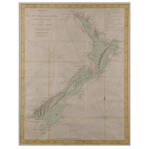
'Chart of New Zealand Explored in 1769 and 1770'. By Lieutenant J Cook, Commander of Her Majesty's barque Endeavour. Hand coloured. 50 x 38 cm

'La Nuova Zelanda Transcorsa Nel 1769 E 1770'. By Antonio Zatta 1778. Hand coloured. 45 x 36 cm

Copper engraved map of Firth of Thames, Bay of Islands and Tolaga Bay entitled 'riviere Tamise et Baye Mercure a la Nle. Zelande' with insets 'Baye des Isles dans la Nle. Zelande' and 'Baye de Tolaga dans la Nle. Zelande', engraved by Robert Benard. From t