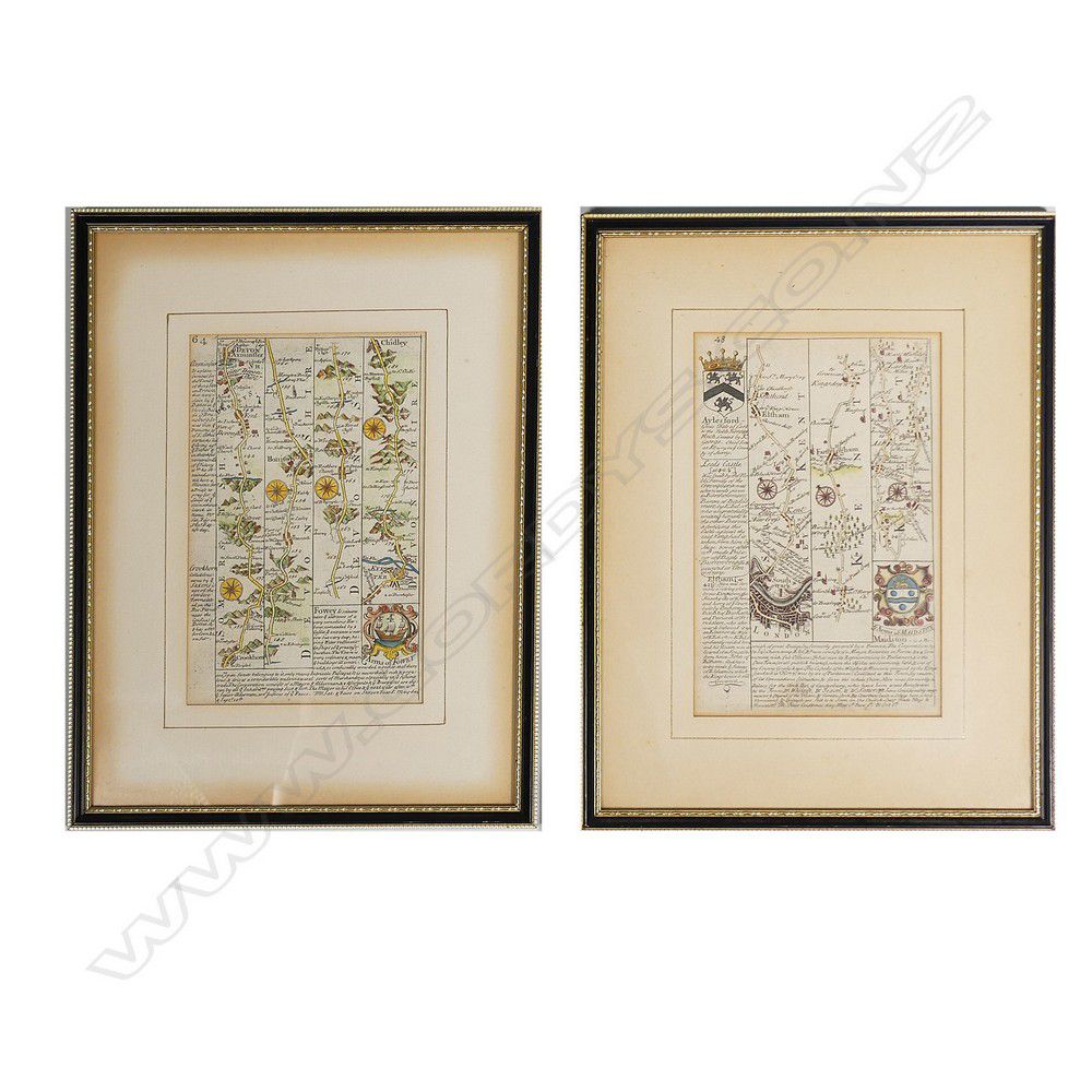
Small Strip Maps of Kent, Devonshire, and Dorset
You must be a subscriber, and be logged in to view price and dealer details.
Subscribe Now to view actual auction price for this item
When you subscribe, you have the option of setting the currency in which to display prices to $Au, $US, $NZ or Stg.
This item has been included into following indexes:
- maps - general 445
Visually similar items

Maps (2), world and Hemispheres. Map of the world Mercators projection by Johnson, pub. By Johnson and Ward, NY 1863; and the century Atlas Hemispheres, pub. By century Co. NY 1897. Steel engraving (2). 42 x 64 cm and 28 x 39 cm

Maps (2), Australia and NSW. Australien by Petermann, pub. By Justus Perthes, Germany 1871. Has inset Map of port Jackson; and NSW pub. By Tallis & Co. London c.1853. Hand coloured with Three pictorial vignettes. Hand coloured steel engraving (2). 36 x 43

Maps (2), Brasil and Guayana; and Cuba, Jamaica and Porto Rico. Pub. NY c.1856 J.H.Colton & Co. Hand coloured steel engraving (2). 42 x 34 cm and 32 x 40 cm

Map, 'Ancien Continent.' plate 77 from mallet's 'Du globe Terrestre,' Paris, 1863. 22 x 13 cm (page)