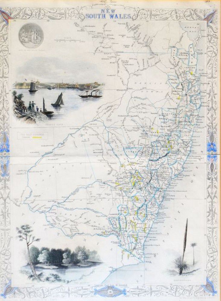
Set of 6 Framed Tallis Maps of Australia (or) Australian Tallis Map Collection
You must be a subscriber, and be logged in to view price and dealer details.
Subscribe Now to view actual auction price for this item
When you subscribe, you have the option of setting the currency in which to display prices to $Au, $US, $NZ or Stg.
This item has been included into following indexes:
- maps - general 445
Visually similar items

Child Servants in Van Diemen's Land, Printed 'Form of Indentiture' documents from the Queen's Asylum, Tasmania, dated 1875, 1878 and 1879, providing details of the apprenticeships arranged for George Crump (aged 12 years & 10 months), Albert Bolch (13 year

Yeh Mansu 20th century Maiden on a bridge ink and colour on paper, hanging scroll signed and with inscription and two seals 110 x 28 cm

Book, 1832, sketch of the History of van Diemens Land, James Bischoff, including Arrowsmith map, separately mounted

'New Holland and Asiatic Isles.' pub. John, early map