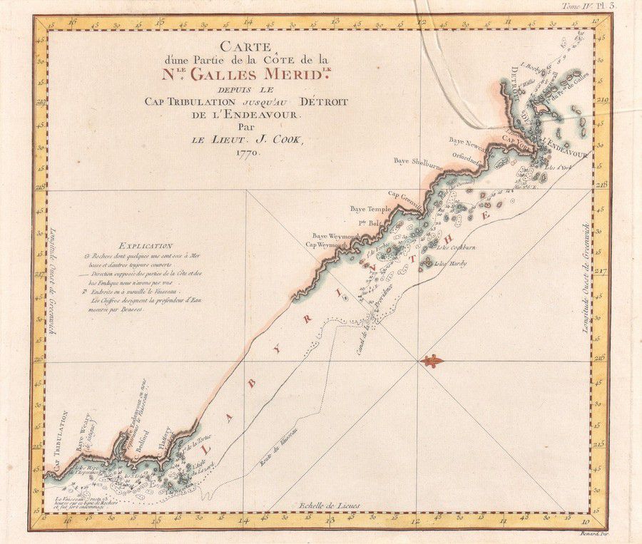
Coastline Map of New South Wales, 18th Century
You must be a subscriber, and be logged in to view price and dealer details.
Subscribe Now to view actual auction price for this item
When you subscribe, you have the option of setting the currency in which to display prices to $Au, $US, $NZ or Stg.
This item has been included into following indexes:
Visually similar items
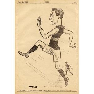
1922 Pals 'Football Caricatures' (5/14 known + 2 unrecorded). Poor/G.

Map: 'Chart of the Pacific Ocean' circa 1820 showing New Holland with incomplete northern and southern coastlines and only the east coast of Van Diemen's Land; Papua or New Guinea largely incomplete; Japan, Philippines, eastern China and the north and sout

'Carte De La Nouvelle Zelande Vifite'e En 1769'. By Lieutenant J Cook, Commander of the Endeavour 1770. Hand coloured. 49 x 39.5 cm

Map, 'Partie de l'Australie,' 1756. 'Partie de l'Australie qui comprend la Terre des Papous ou Nouv. Le Guinee, et la Nouv. Le Bretagne,' l'Histoire des Terres Australes, Robert de Vaugondy, 1756. Engraving. 28.5 x 42 cm (sheet)