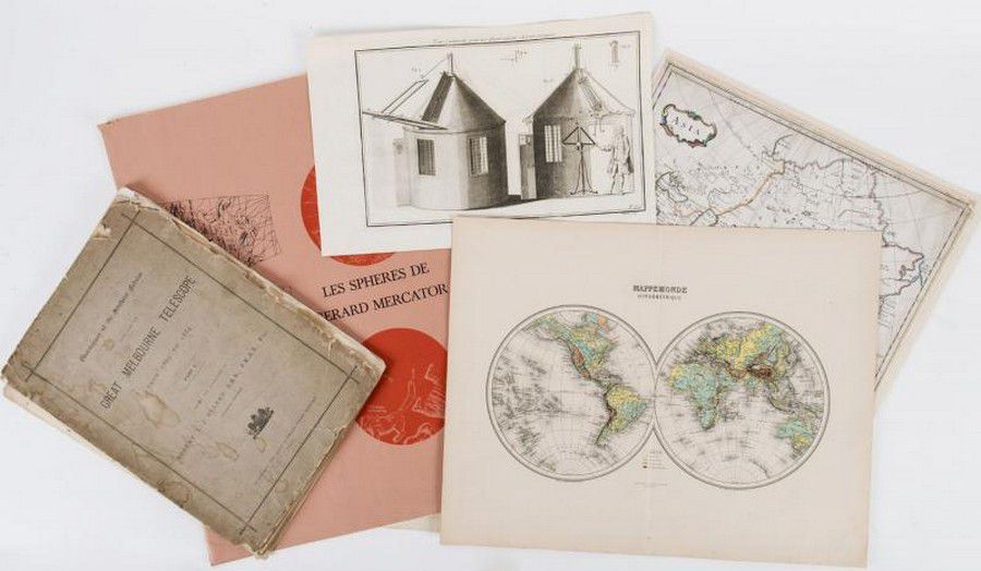
Vintage Visuals: 18th-20th Century Maps, Charts, and Prints
You must be a subscriber, and be logged in to view price and dealer details.
Subscribe Now to view actual auction price for this item
When you subscribe, you have the option of setting the currency in which to display prices to $Au, $US, $NZ or Stg.
This item has been included into following indexes:
- maps - general 445
Visually similar items

Map, Mappe-Monde Ou Carte Generale de La Terre. Pub. France c.1700. General world view with cartouches of explorers. Copper engraving & hand coloured. 24 x 3 5 cm

Books, (5) 'Toulouse-Lautrec Lithographs,' Sotheby Parke Bernet catalogue of 1978; 'T-Lautrec,' by Francis Jourdain, published Editions Pierre Tisne; 'One Hundred Ten Unpublished Drawings,' by Toulouse-Lautrec, limited edition #388/1500, published Boston b

Five Burton Brothers landscape photographs and five photographs unmounted

Chinese mother of pearl card case, 19th century silk lined interior. Provenance: Property of a Lady, NSW