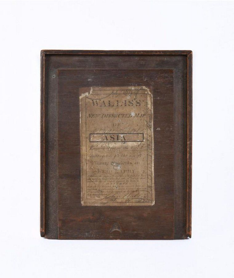
1830 Wallis Map of Asia for Young Students
You must be a subscriber, and be logged in to view price and dealer details.
Subscribe Now to view actual auction price for this item
When you subscribe, you have the option of setting the currency in which to display prices to $Au, $US, $NZ or Stg.
- Circa - A Latin term meaning 'about', often used in the antique trade to give an approximate date for the piece, usually considered to be five years on either side of the circa year. Thus, circa 1900 means the piece was made about 1900, probably between 1895 and 1905. The expression is sometimes abbreviated to c.1900.
This item has been included into following indexes:
- maps - general 445
Visually similar items
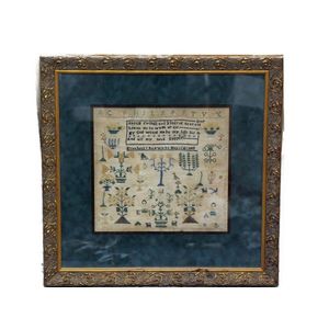
A Victorian sampler in contemporary frame

TASMANIA' 1883 large folding map in 30 sectors laid down on linen and contained in a slip-case from the supplier: Edward Stanford Ordnance Maps, Charing Cross. Published by authority of the Honorable N.J.Brown, Minister of Land & Works. Litho: R.Bennett, D


Fawkner, John Pascoe [1792-1869] - His Family Bible, The Illustrated Family Bible, containing The Old and New Testaments' by Rev. John Brown [Smith, Elder & Co, London, 1838] in original leather binding, endorsed on the title page 'John Pascoe Fawkner M.L.