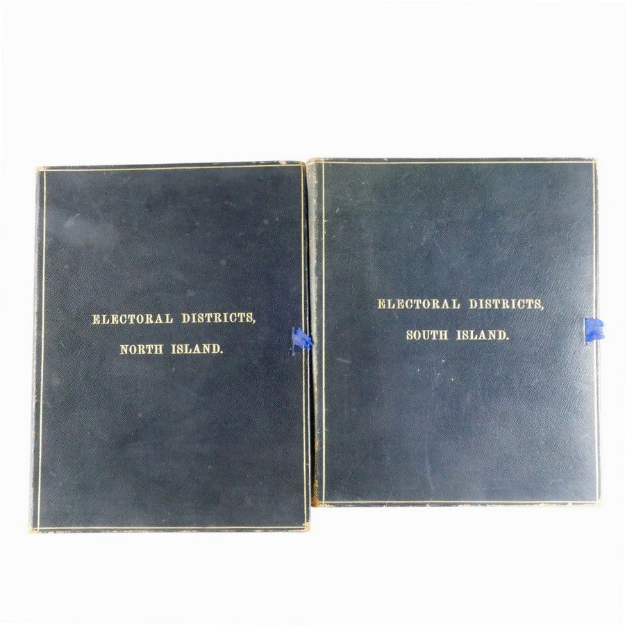
Hand-Coloured Electoral Maps of NZ, c.1907
You must be a subscriber, and be logged in to view price and dealer details.
Subscribe Now to view actual auction price for this item
When you subscribe, you have the option of setting the currency in which to display prices to $Au, $US, $NZ or Stg.
This item has been included into following indexes:
- maps - general 445
Visually similar items

'The English Cricketers' Trip to Canada and the United States' by Fred Lillywhite (London, 1860), with engraved title page, 23 full-page engraved plates, folding map. Fair/Good condition.

Davidson, Allan A. Journal of explorations in central Australia by the Central Australian Exploration Syndicate Limited, under the leadership of Allan A. Davidson, 1898-1900. Adelaide, 1905. South Australian Parliamentary Paper, small folio, pp.76, with fo

Gregory, A. C. and Gregory, F. T. Journals of Australian explorations. Brisbane, 1884. Octavo, original cloth., An unusually fine copy of the complete record of the eight Gregory expeditions to northern, central and western Australia, between 1846 and 1861

Visit of members of New Zealand Legislature to the Cook and other Islands 1903. Photograph album with 100 mounted, captioned prints. The Cook Islands were annexed to New Zealand in 1901. Walter Edward Gudgeon became Resident Commissioner. Inside cover is s