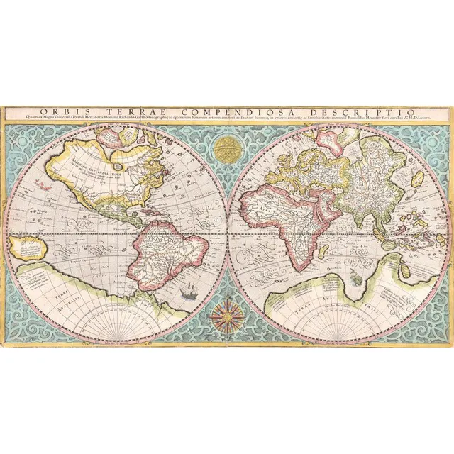
Mercator's 1587 Double-Hemisphere World Map
World map, Orbis Terrae Compendiosa Descriptio. Rumold Mercator (1545-1599), dated 1587 (circa 1619); engraved & coloured double-hemisphere world map,; 52 x 28 cm
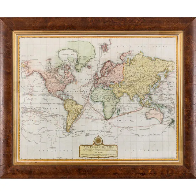
New World Chart with British and La Perouse's Tracks
Laurie & Whittle, (London, 1800), A New Chart of the World on Wright's or Mercator's Projection in which are Exhibited all the parts hitherto Explored or discovered with the Tracks of the British Circumnavigators Byron, Wallis, Carteret and Cook, &c. and…
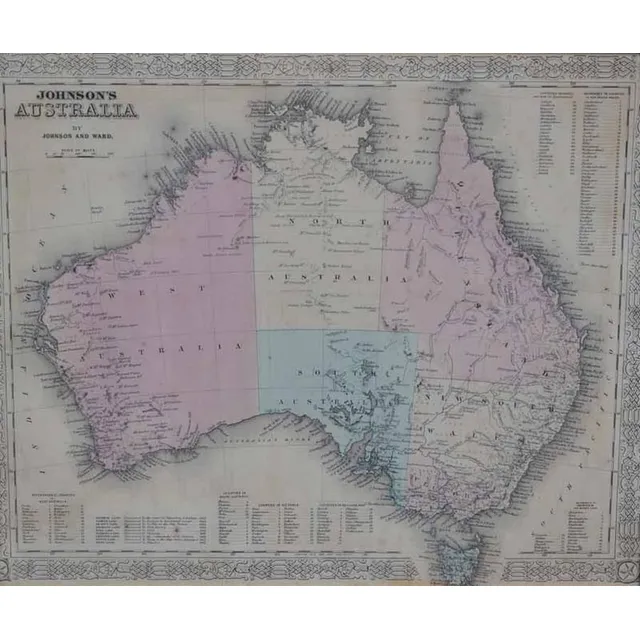
Antique Framed Maps: Australia & World with Cook's Routes
i) A 'Johnson's Australia' framed map, c.1864, by Johnson & Ward hand coloured engraved print. 32 x 40 cm (image); ii) 'The world on Mercator's Projection' framed map Published 1816 London, by C.S. Smith hand coloured engraved print note: showing Capt.…
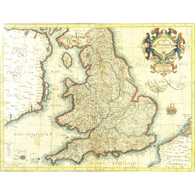
16th Century Map of England and Wales by Mercator
A 16th century map of England and Wales by Gerhard Mercator, published by Hondius c.1630s, entitled in a decorative cartouche, 'Anglia Regnum'. Detailed with Latinized names of counties and detailed with town names from Saxton's Map of 1579, additionally…
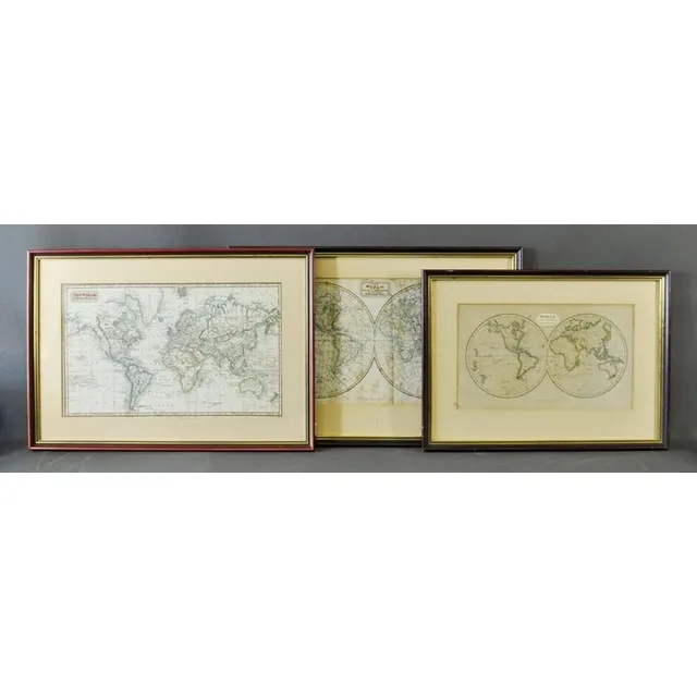
Early World Maps (Three Examples)
Three early world maps, Kelly, Thomas, (2) 'The world with the Tracts & Discoveries of the Latest Navigators,' pub. C.1820; 'The world on Mercator's pair of ojection,' pub. 1824; & 'World from the Best Authorities,' pub. T.Tegg, London 1814. 23 x 42 cm,…