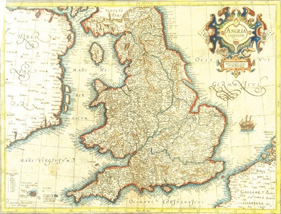
16th Century Map of England and Wales by Mercator
You must be a subscriber, and be logged in to view price and dealer details.
Subscribe Now to view actual auction price for this item
When you subscribe, you have the option of setting the currency in which to display prices to $Au, $US, $NZ or Stg.
- Foxing - Foxing is a type of discoloration or staining that occurs on the edges or pages of old books, manuscripts, and other paper-based materials. The term "foxing" comes from the reddish-brown color of the stains, which is similar to the color of fox fur.
Foxing is caused by a variety of factors, including exposure to moisture, high humidity, and oxidation. Over time, these environmental factors can cause the paper to yellow and develop the distinctive brownish stains. The discoloration can also be caused by pollutants in the air, such as smoke and chemicals, or by the presence of certain types of mould or mildew.
Foxing can have a significant impact on the value and appearance of old books and manuscripts, and is often considered a defect. However, some people consider foxing to be a sign of the history and aging of the paper, and view it as a desirable characteristic. - Cartouche - An ornamental panel in the form of of a shield, oval or rectangular scroll with curling edges. It may be carved into the back of a chair or the top of a sideboard, or present on a piece of silver or jewellery, and contain the initials of the original owner, heraldic symbols, or some other inscription, such as the details of a presentation.
In ceramics the term defines the central area of a vase or similar with a decorative border in one of the shapes above, into which a decorative scene or figures have been painted.
This item has been included into following indexes:
Visually similar items

Map, Asiae Nova Descriptio. Map of Asia by Abraham Ortelius, pub. Amsterdam c.1574. Hand coloured engraving. 37 x 4 9 cm

Kamasan, Bali, Demon General, flag (Kober), c1920s, pigment on European cotton cloth, 65 x 65 cm
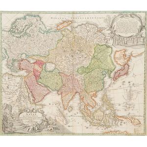
18th century (1730) hand coloured map Asiae Authore Ion. Bapt. Homann 49 x 58 cm

A Tibetan thangka with Vajrayogini, the scene is divided bwtween earh and heaven, Vajrayogini is dancing in the centre of the scene, with Buddha watching over all. (the scene symbolizes Buddha's existence in all places both heaven and earth,)? 82 cm x 62 c