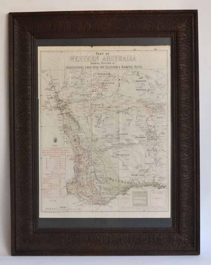
Western Australia Agricultural Land and Rainfall Map
You must be a subscriber, and be logged in to view price and dealer details.
Subscribe Now to view actual auction price for this item
When you subscribe, you have the option of setting the currency in which to display prices to $Au, $US, $NZ or Stg.
This item has been included into following indexes:
- maps - general 445
Visually similar items

Royal Geographic Society sterling silver world map circa 1976, marked 925/1000, with certificate & paper work, 55 cm x 75 cm (frame)

The Royal Geographic Society silver world map, circa 1976, stamped 925/1000, with certificate and paperwork, 51 cm x 70 cm (frame)

Sterling silver engine turned photo frame 16 x 11.5 cm approx. Stamped 925

Map, 'Indiae Orientalis,' VISSCHER. Nicholas VISSCHER (1649-1702) 'Indiae Orientalis nec non Insularum Adiacentum.'. Engraving. 52 x 62 cm