Antique Australian Maps Collection: 19th-20th Century
click the photo to enlarge
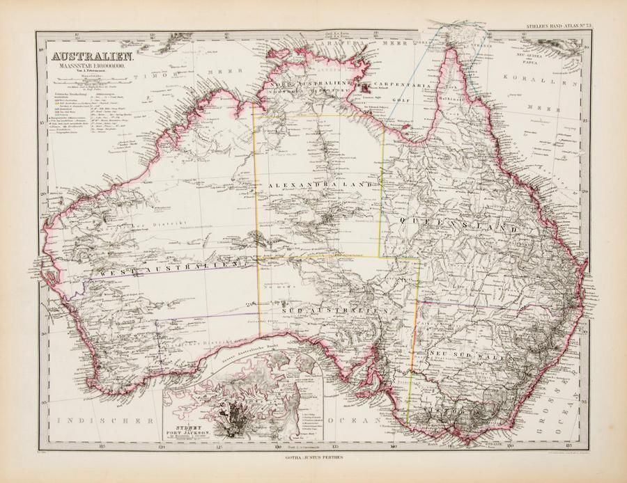
Maps: Group of 10 maps of Australia, late 19th & early 20th century including Van Diemen's Land. Various sizes
You must be a subscriber, and be logged in to view price and dealer details.
Subscribe Now to view actual auction price for this item
When you subscribe, you have the option of setting the currency in which to display prices to $Au, $US, $NZ or Stg.
This item has been sold, and the description, image and price are for reference purposes only.
This item has been included into following indexes:
- maps - general 445
Visually similar items

C1853 Goldfields map of Victoria drawn and engraved by J.Bartholomew (Edinburgh), Unframed, 32 x 43 cm
Sold by
in
for
You can display prices in $Au, $US, $NZ or Stg.

Map of the District of Adelaide, South Australia, published by John Arrowsmith, 1840, lithograph, 65 x 55 cm
Sold by
in
for
You can display prices in $Au, $US, $NZ or Stg.
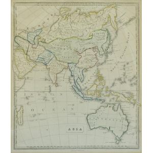
Map, 'Asia (including Australia) 1839.' Allan, Bell & Co. 1837. Engraving. 35 x 30 cm
Sold by
in
for
You can display prices in $Au, $US, $NZ or Stg.

A needlepoint rug, 20th century, 248 x 195 cm
Sold by
in
for
You can display prices in $Au, $US, $NZ or Stg.