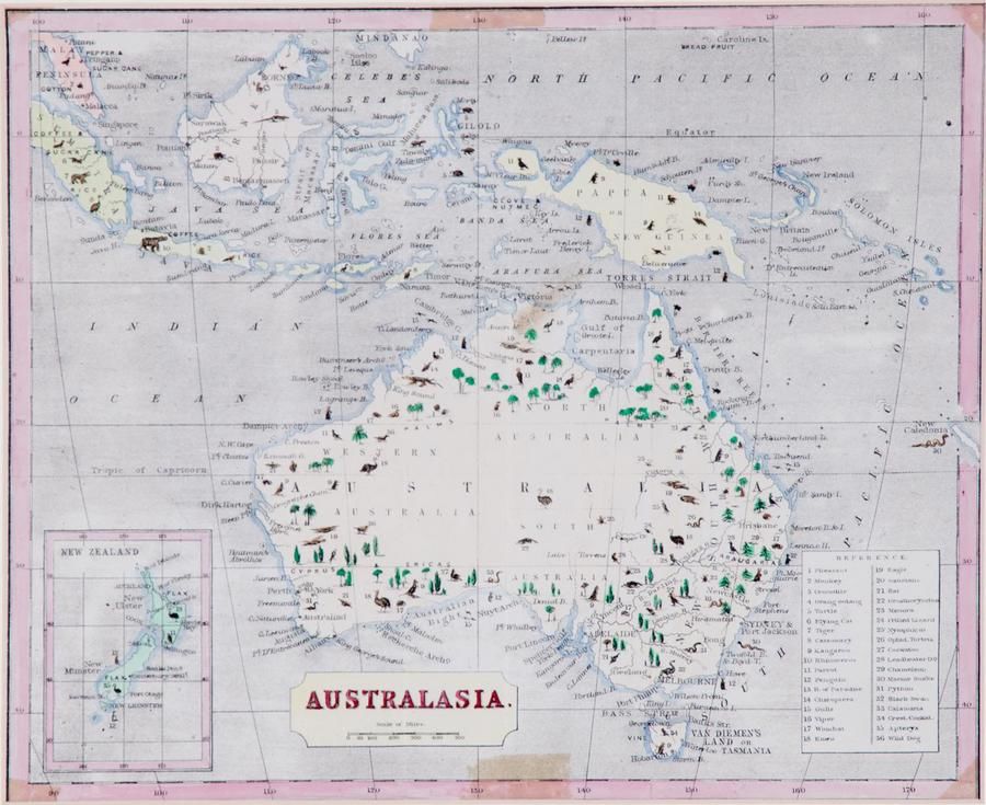
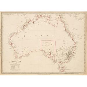
Australian Maps: 19th & 20th Century Collection
You must be a subscriber, and be logged in to view price and dealer details.
Subscribe Now to view actual auction price for this item
When you subscribe, you have the option of setting the currency in which to display prices to $Au, $US, $NZ or Stg.
This item has been included into following indexes:
- maps - general 445
Visually similar items

Map: Western Australia and van-Diemen's Island a map of Western Australia containing the settlements of swan river and King George sound from recent surveys sent to the Colonial office. The other section of the map depicting van-Diemen Island, published Lo
Maps: Group of 8 maps of Australia including c1839 showing the Colony of South Australia. 19th & 20th century. Varying sizes

Map of part of the Morobe District New Guinea Mandated Territory and of the Gulf and central Div. 1933-1935. Drawn by J. Nason-Jones, printed by H.E.C Robinson Ltd, 221-3 George Street, Sydney

Carte Generale De L'Oceanie by Brue [Paris 1827]. 52 x 58 cm