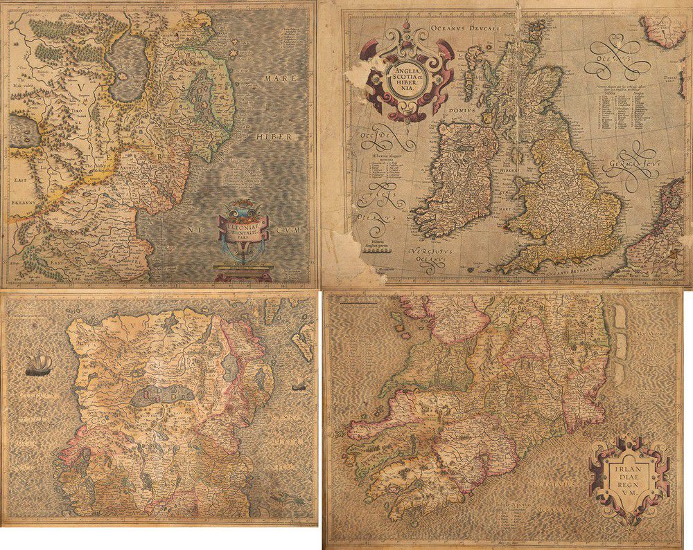
Antique Hand Coloured Maps of Ireland, England and Scotland
You must be a subscriber, and be logged in to view price and dealer details.
Subscribe Now to view actual auction price for this item
When you subscribe, you have the option of setting the currency in which to display prices to $Au, $US, $NZ or Stg.
This item has been included into following indexes:
- maps - general 445
Visually similar items

Maps 2, Africa & Bay of Bengal. A new & correct map of Africa, by Emanuel Bowen, pub. London 1744; & a new Chart of the Gulf or Bay of Bengal, by Laurie & Whittle, pub. London, 1797. Copper engraving, 38 x 46 cm & 62 x 66 cm

Map of the Province of South Australia 1862, printed by R. K. Burt London, lithograph, 76 x 66 cm

Four large Victorian Wedgwood tiles Shakespeare series.

Six framed watercolours in the style of Wu Li (1632-1718), most depict detailed mountain scenes with waterfalls, lakes and houses. One is a monochrome hill landscape and one depicts a coastal scene with incoming tidal surge, each 24 x 28 cm