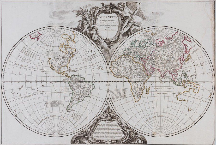
1757 Double Hemisphere World Map with Hypothetical Australia Connection
You must be a subscriber, and be logged in to view price and dealer details.
Subscribe Now to view actual auction price for this item
When you subscribe, you have the option of setting the currency in which to display prices to $Au, $US, $NZ or Stg.
- Cartouche - An ornamental panel in the form of of a shield, oval or rectangular scroll with curling edges. It may be carved into the back of a chair or the top of a sideboard, or present on a piece of silver or jewellery, and contain the initials of the original owner, heraldic symbols, or some other inscription, such as the details of a presentation.
In ceramics the term defines the central area of a vase or similar with a decorative border in one of the shapes above, into which a decorative scene or figures have been painted.
This item has been included into following indexes:
- maps - general 445
Visually similar items

Mappe-Monde, Divisee en ses quatre Partie 1759' (Paris, 1759), double-hemisphere map showing east coast of Australia stretching from Tasmania via New Hebrides to New Guinea, hand-coloured, size 34 x 17 cm.,

A Chart of the Southern Hemisphere by Captain James Cook, published by William Strahan [London 1777]. 55 x 57 cm

Bellin, Nicolas, Paris 1753, Carte Reduite de la Mer Du Sud Pour servir a l'Histoire generale des Voyages, 25.5 x 38 cm, Plate dimensions 20.5 x 35.5 cm. Australia is attached to New Guinea and Tasmania attached to the mainland. The east coast is entirely

A colonial surveyor's map, 'Plan of the town of Launceston, Van Diemen's Land, from the actual survey by H. W. H. Smythe, 1855', 64 cm high, 78 cm wide