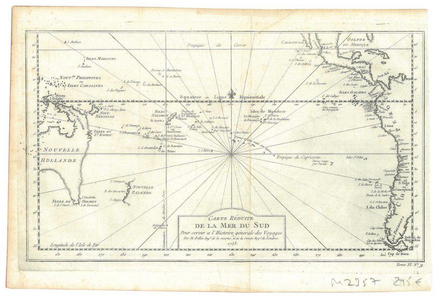
Historic Map of South Pacific and Oceana
You must be a subscriber, and be logged in to view price and dealer details.
Subscribe Now to view actual auction price for this item
When you subscribe, you have the option of setting the currency in which to display prices to $Au, $US, $NZ or Stg.
This item has been included into following indexes:
Visually similar items

Map, Mar Del Zur Hispanis Mare Pacificum. Jan Jansson mapmaker, published Amsterdam 1650. Hand coloured engraving. 44 x 5 5 cm

Map: 'Olympic Yachting Regatta, Prepared by the Hydrographic Service R.A.N. for the Australian Yachting Federation. Australia. 1956', laminated, 37 x 54 cm.

Map, L'Asie Divisee en ses pair of incipaux Etats. Mapmaker, Jean Janvier, pub. Paris 1760. Hand coloured engraving. 49 x 6 8 cm

Map, Mappe-Monde Ou Carte Generale de La Terre. Pub. France c.1700. General world view with cartouches of explorers. Copper engraving & hand coloured. 24 x 3 5 cm