Antique Maps 1788-1929
You must be a subscriber, and be logged in to view price and dealer details.
Subscribe Now to view actual auction price for this item
When you subscribe, you have the option of setting the currency in which to display prices to $Au, $US, $NZ or Stg.
This item has been included into following indexes:
- maps - general 445
Visually similar items

Victoria: Hiscocks, F.E. & Co., publishers. 'F.E. Hiscocks & Co.'s New Victorian, Counties Atlas. Melbourne, 1874'. Folio, title, 5 leaves of letterpress and 22 lithographed maps, hand-coloured, original leather & cloth binding with the original gilt lette
Land Grant, 1797, signed by Governor Hunter NSW. 'Whereas full power & authority for granting Lands, in the Territory of New South Walesto such persons as May be desirous of becoming settlers therein, is vested in His Majesty's Captain General, & Governor
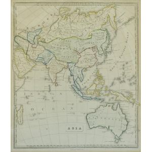
Map, 'Asia (including Australia) 1839.' Allan, Bell & Co. 1837. Engraving. 35 x 30 cm

An 18th century map 'Part of Sussex' by Robert Morden, hand coloured in outline. 36 cm x 41 cm