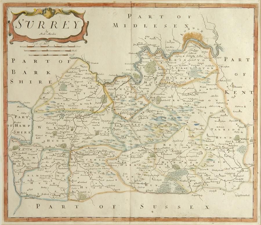
18th Century Sussex Map by Robert Morden
You must be a subscriber, and be logged in to view price and dealer details.
Subscribe Now to view actual auction price for this item
When you subscribe, you have the option of setting the currency in which to display prices to $Au, $US, $NZ or Stg.
This item has been included into following indexes:
- maps - general 445
Visually similar items

A & S Arrowsmith a world map on Mercator's Projection 1825 hand-coloured engraving, pub. London 24.5 x 30 cm

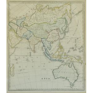
Thomes Bowen (?-1790) A new and Accurate map of Asia, drawn from the most modern Maps and Charts, 1799 Handcoloured & engraved, for Middletons complete System of Geography 32.5 x 42.5 cm
Map, 'Asia (including Australia) 1839.' Allan, Bell & Co. 1837. Engraving. 35 x 30 cm

Mortier Pacific Ocean map. 'Mer de Sud ou Pacifique' from suite du Neptune Francois pub. Amsterdam 1,700. Short edge tears, foxing. Hand coloured copper engraving, 60 x 75 cm (plate)