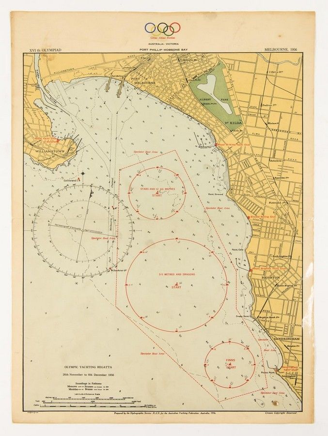
1956 Olympic Yachting Regatta Map - Australia
You must be a subscriber, and be logged in to view price and dealer details.
Subscribe Now to view actual auction price for this item
When you subscribe, you have the option of setting the currency in which to display prices to $Au, $US, $NZ or Stg.
- Federation Period - The Federation style in architecture and furniture is broadly the Australian equivalent of the English Edwardian period and extended from 1890 to 1915. The name relates to Australia becoming a Federation in 1901, when the colonies became the Commonwealth of Australia.
This item has been included into following indexes:
Visually similar items

C1853 Goldfields map of Victoria drawn and engraved by J.Bartholomew (Edinburgh), Unframed, 32 x 43 cm

Map: Western Australia and van-Diemen's Island a map of Western Australia containing the settlements of swan river and King George sound from recent surveys sent to the Colonial office. The other section of the map depicting van-Diemen Island, published Lo
Map, Carte Reduite de L'Ocean Oriental ou Mer des Indes. Mapmaker J N Bellin, pub. Paris, 1757. Hand coloured engraving. 56 x 8 8 cm

Mortier Pacific Ocean map. 'Mer de Sud ou Pacifique' from suite du Neptune Francois pub. Amsterdam 1,700. Short edge tears, foxing. Hand coloured copper engraving, 60 x 75 cm (plate)