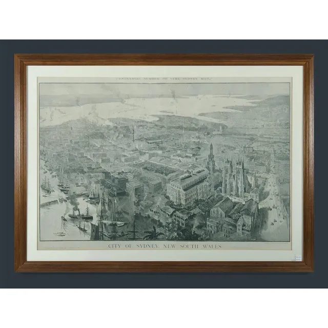
Fullwood's Sydney Map - Centennial Edition
Framed map city of Sydney, New South Wales. A H Fullwood. Centennial number of the Sydney mail, supplement to the Sydney mail January 21st,1888. Image (62.5 x 92.5 cm), frame (81.5 x 109 cm).
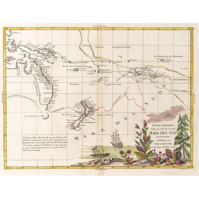
New Discoveries in the South Pacific
Nuove Scoperte, Fatte nel 1765, 67, e 69 nel, Mare Del Sud' by Antonio Zatta [Venice, 1776], window mounted, overall 57 x 49 cm. Tooley 1431.
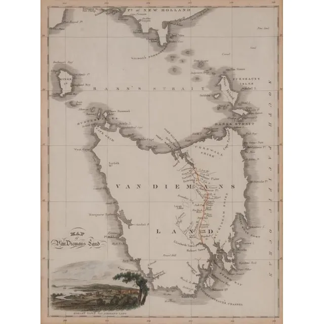
Van Diemens Land: Hobart Town View, 1824
Van Diemens Land with colour lithograph view of Hobart Town, drawn & engraved by Lizars, circa 1824. 22 x 30 cm