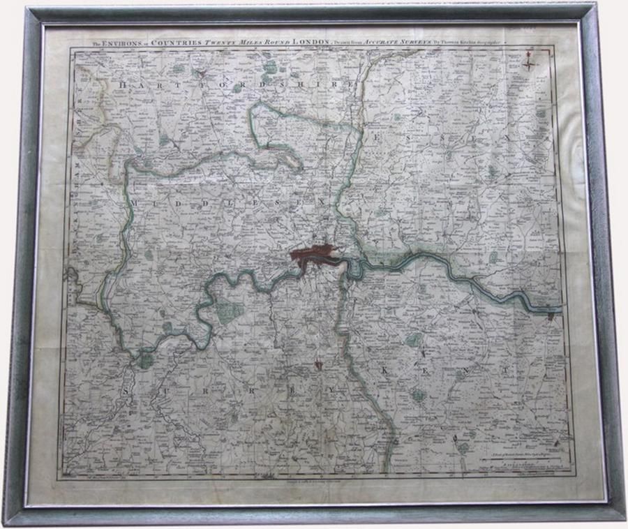
London Environs Antique Map
You must be a subscriber, and be logged in to view price and dealer details.
Subscribe Now to view actual auction price for this item
When you subscribe, you have the option of setting the currency in which to display prices to $Au, $US, $NZ or Stg.
- Circa - A Latin term meaning 'about', often used in the antique trade to give an approximate date for the piece, usually considered to be five years on either side of the circa year. Thus, circa 1900 means the piece was made about 1900, probably between 1895 and 1905. The expression is sometimes abbreviated to c.1900.
This item has been included into following indexes:
- maps - general 445
Visually similar items

Map, 'The Kingdome of England,' John Speed 1610. Described by Christopher Saxon, augmented by John Speed; with costumed figures vignettes to each side. Hand coloured engraving. 38.5 x 51 cm

Antique map dated 1690 by Richard Brome of south Wales, approx 38 cm x 47 cm

Rare 17th century De Rossi, G., Penisola dell India di la dal Gange et Isole intorno ad essa adiacenti, Rome, 1683-1688. Giacomo Rossi's fine late 17th century map of India with Ceylon and Maldives. Issued in Il Mercurio Geografico in lower right hand corn

NSW Maps: 'Map of Part of New South Wales' by Lizars [Edinburgh, 1824], plus 'New South Wales, Compiled under the Superintendence of the Society for the Diffusion of Useful Knowledge' [London, 1833], both framed, various sizes.