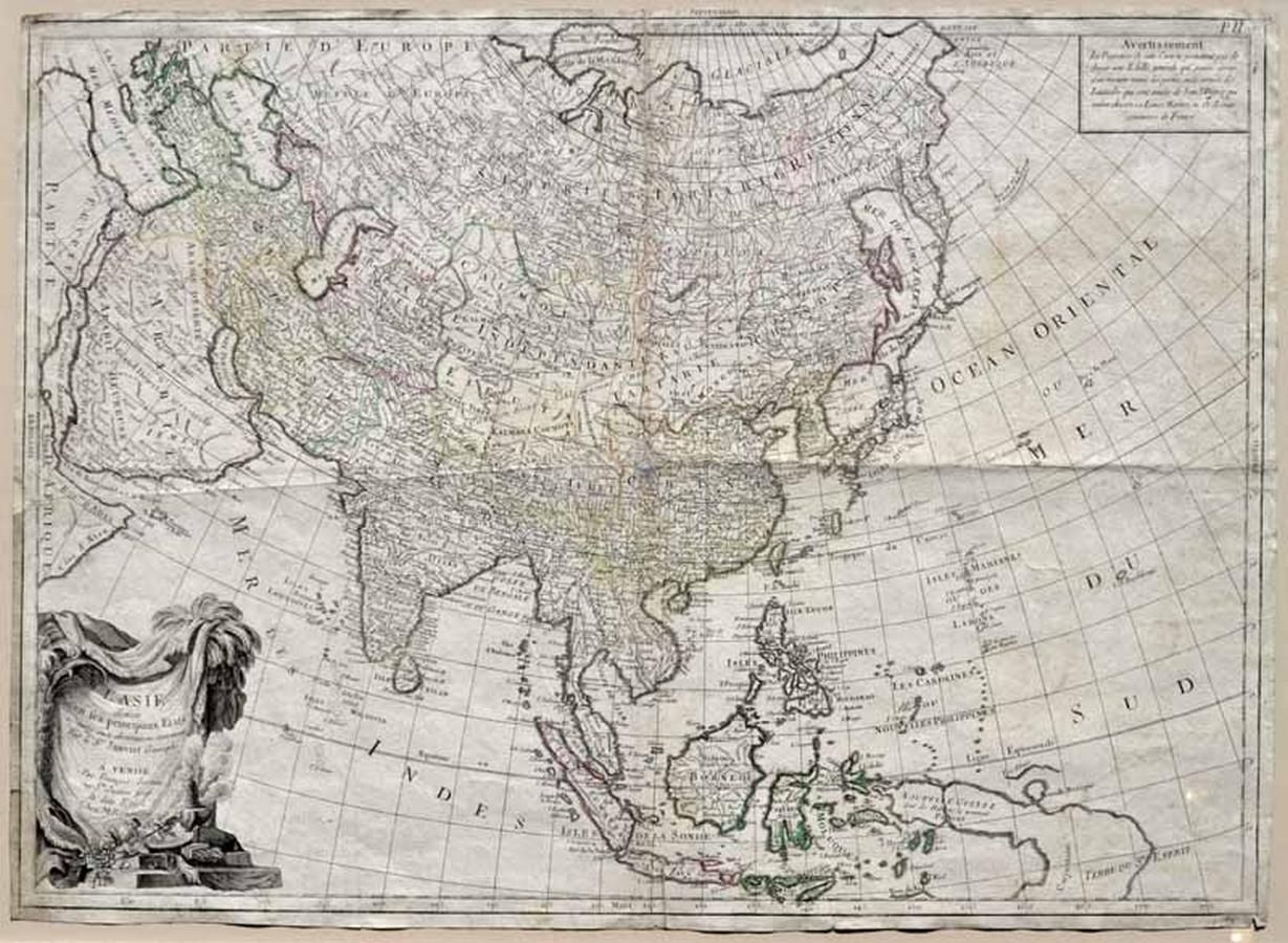
Map of Central Asia with New Guinea (1784)
You must be a subscriber, and be logged in to view price and dealer details.
Subscribe Now to view actual auction price for this item
When you subscribe, you have the option of setting the currency in which to display prices to $Au, $US, $NZ or Stg.
This item has been included into following indexes:
- maps - general 445
Visually similar items
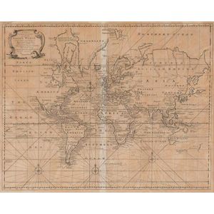
A New & Correct Chart of all the Known World by Emanuel Bowen [London 1744]. 46 x 38 cm

Map, in Notitiam Ecclesiasticam Africae. Map of Spain, Eastern Mediterranean and north Africa by Philippe Buache, pub. Paris 1745. Hand coloured copper engraving. 49 x 64 cm

c1812-80 maps, noted c1812 'Oceanique', 1838 'Pacific Ocean', 1860 'Carte de la Melanesie', 1875 'Australie Occidentale' & 1880 'Australie et Polynesie'. All window mounted, various sizes. Condition varies.,

Andreani, Andrea (Italian 1558-1629) Bathing Nymphs, after Parmigianino, 1605. Chiaroscuro woodcut 29 x 20 cm