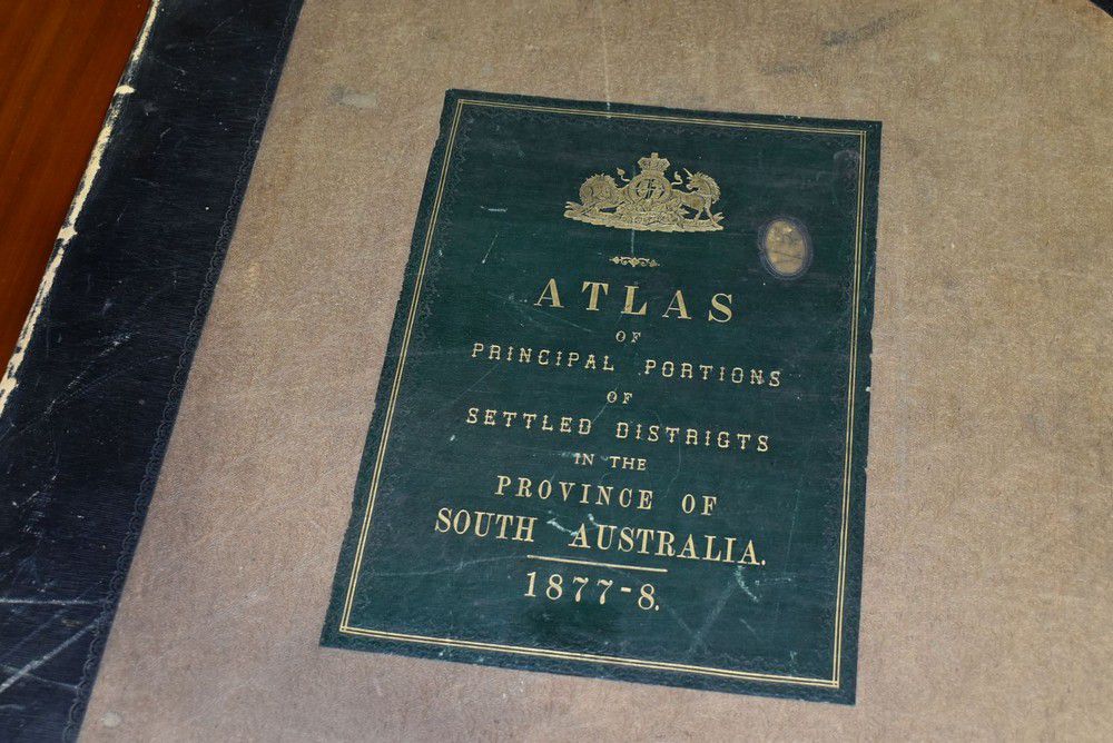
South Australia County and Hundred Atlas (1877)
click the photo to enlarge
Atlas, plan of the Southern portion of the Province of South Australia as divided into Counties and Hundreds, compiled from official documents (Surveyor General's office, Adelaide 1877) comprising a key map and 17 double spread maps, bound in half leather
You must be a subscriber, and be logged in to view price and dealer details.
Subscribe Now to view actual auction price for this item
When you subscribe, you have the option of setting the currency in which to display prices to $Au, $US, $NZ or Stg.
This item has been sold, and the description, image and price are for reference purposes only.
This item has been included into following indexes:
- maps - general 445