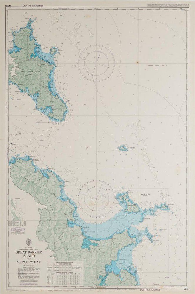
Marine Map: Great Barrier to Mercury Bay (1975)
click the photo to enlarge
A marine map of great Barrier to Mercury Bay, mounted on board. Published in Auckland, October, 1975 by the Hydrographic office of the Royal New Zealand Navy. 105 x 71 cm
You must be a subscriber, and be logged in to view price and dealer details.
Subscribe Now to view actual auction price for this item
When you subscribe, you have the option of setting the currency in which to display prices to $Au, $US, $NZ or Stg.
This item has been sold, and the description, image and price are for reference purposes only.
This item has been included into following indexes: