South Australia Coastal Maps: Shipping Routes and Depths
click the photo to enlarge
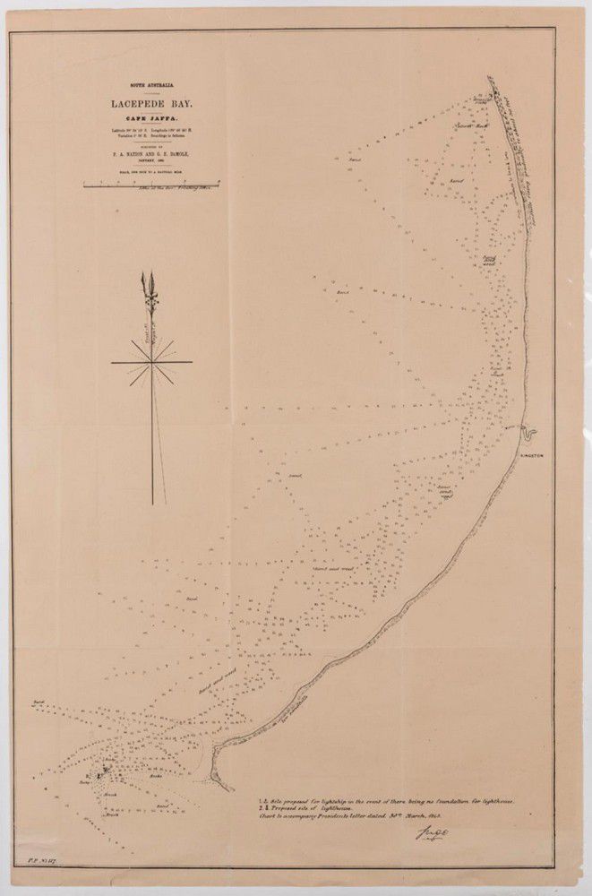
Two maps of South Australia, Lacepede bay, cape Jaffa and the Southern coastline, showing shipping courses and depth, surveyed by P a Nation and G E Demole 1859, 66 x 43.5 cm and 45.5 x 38.5 cm
You must be a subscriber, and be logged in to view price and dealer details.
Subscribe Now to view actual auction price for this item
When you subscribe, you have the option of setting the currency in which to display prices to $Au, $US, $NZ or Stg.
This item has been sold, and the description, image and price are for reference purposes only.
This item has been included into following indexes:
- maps - general 445