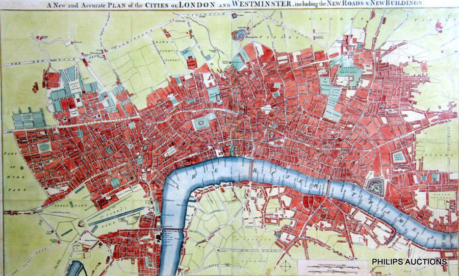
London and Westminster Map, 1754
You must be a subscriber, and be logged in to view price and dealer details.
Subscribe Now to view actual auction price for this item
When you subscribe, you have the option of setting the currency in which to display prices to $Au, $US, $NZ or Stg.
- Circa - A Latin term meaning 'about', often used in the antique trade to give an approximate date for the piece, usually considered to be five years on either side of the circa year. Thus, circa 1900 means the piece was made about 1900, probably between 1895 and 1905. The expression is sometimes abbreviated to c.1900.
This item has been included into following indexes:
- maps - general 445
Visually similar items

An 1835 map of New Zealand, 'Carte de la Nouvelle - Zelande', engraved by Ambroise Tardieu, from d'Urville's Atlas. Errors by Cook, now updated. Dumont d'Urville was second in Command of Duperrey's Expedition of 1824 and later led his own expedition to the

A fine Brussels biblical tapestry, 17th century. 225 cm high, 260 cm wide

'Carte De La Nouvelle Zeelande'. By M. Bonne. Hand coloured. 37 x 25 cm

Rigobert Bonne (1727-1794) Nlle Galles Merid. Le Ou Cote Orientale de la Nouvelle Hollande Hancoloured copper engraving signed in plate 36.5 x 25 cm (plate). Literature: R.Bonne & N Desmarest. Atlas Encyclopedique, Paris 1788, vol 2, plate 137