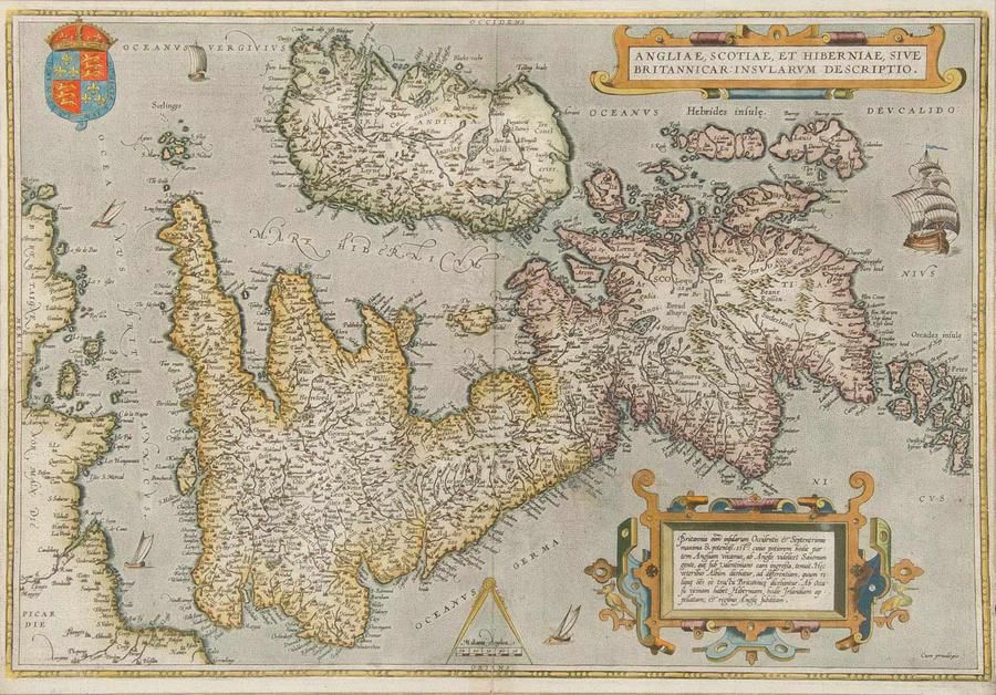
Antique Hand Coloured Maps of British Isles and Munster
click the photo to enlarge
Two framed antique hand coloured maps of the British Isles & the Province of Munster. Frames approximately 182 cm x 67 cm
You must be a subscriber, and be logged in to view price and dealer details.
Subscribe Now to view actual auction price for this item
When you subscribe, you have the option of setting the currency in which to display prices to $Au, $US, $NZ or Stg.
This item has been sold, and the description, image and price are for reference purposes only.
This item has been included into following indexes:
- maps - general 445
Visually similar items

Map: 'Imperii Romani Pars Occidentalis. Hispania. L'Espagne' engraved map published by Moithey [Paris, c1780], size 44 x 28 cm.
Sold by
in
for
You can display prices in $Au, $US, $NZ or Stg.
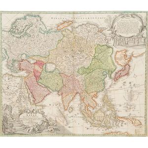
18th century (1730) hand coloured map Asiae Authore Ion. Bapt. Homann 49 x 58 cm
Sold by
in
for
You can display prices in $Au, $US, $NZ or Stg.

Robert Wilkinson pub, after, map of China 1809 hand-coloured engraving 24 x 29.5 cm
Sold by
in
for
You can display prices in $Au, $US, $NZ or Stg.

Hand coloured antique map of Caernarvon-Shire by John Spede, 38 x 51 cm
Sold by
in
for
You can display prices in $Au, $US, $NZ or Stg.