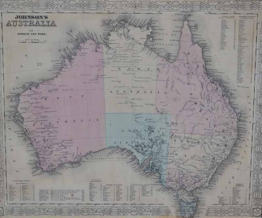
Antique Framed Maps: Australia & World with Cook's Routes
You must be a subscriber, and be logged in to view price and dealer details.
Subscribe Now to view actual auction price for this item
When you subscribe, you have the option of setting the currency in which to display prices to $Au, $US, $NZ or Stg.
This item has been included into following indexes:
Visually similar items

'New Holland and Asiatic Isles.' pub. John, early map

Map, 'Western Australia,' J Rapkin. Modern print taken from an original engraving. 35 x 25 cm

Boer War Map: Coloured lithograph supplement titled 'The Argus Map Of The Seat Of War In South Africa', published by Wilson & Mackinnon [Melb]. Framed and glazed. Map size 35 x 47 cm. Together with photographs from the Boer War & 5 American Tobacco Co. cig

A 19th century hand coloured steel engraved map of New Zealand by W. Hughes, published Edinburgh by A. & C. Black, unframed. 40 cm x 28 cm