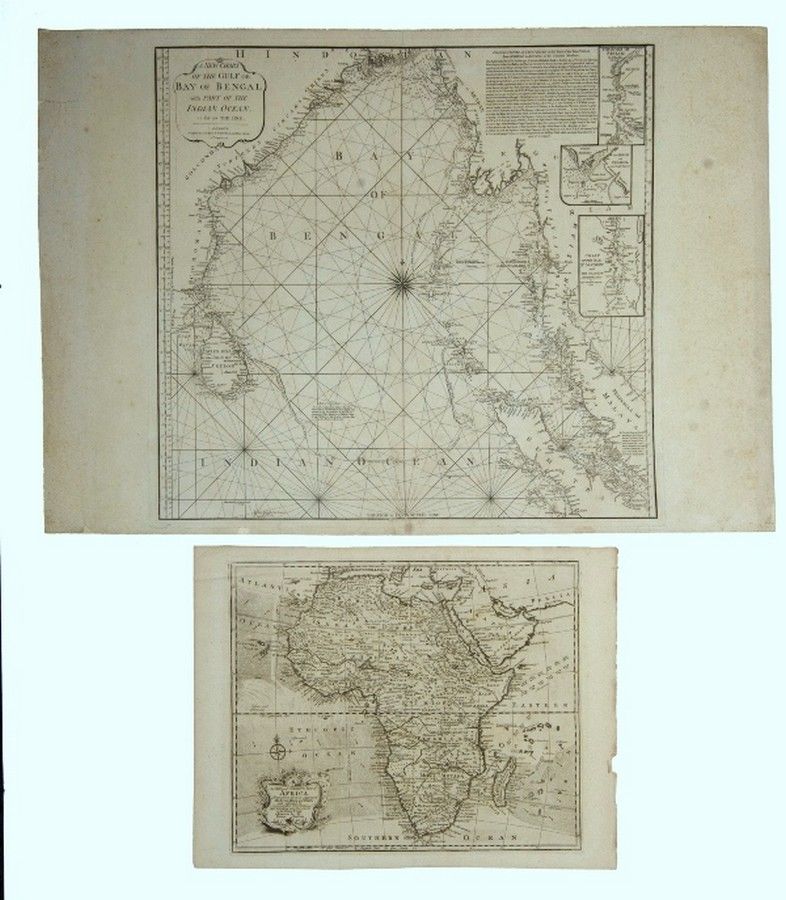
Africa & Bay of Bengal Maps
You must be a subscriber, and be logged in to view price and dealer details.
Subscribe Now to view actual auction price for this item
When you subscribe, you have the option of setting the currency in which to display prices to $Au, $US, $NZ or Stg.
This item has been included into following indexes:
- maps - general 445
Visually similar items

Two old Chinese silk work scroll panels, one showing figures on a mountainous path with trees and buildings, the other showing a path with noble procession and banners, bridge & temple (2)

Antique map dated 1690 by Richard Brome of south Wales, approx 38 cm x 47 cm

Rare J. Bleau antique map of the entire Middle East with Arabia prominent. Region: Maps of the Middle East, Turkey and Central Asia, mapmaker: J. Bleau. Place and date of publication: Amsterdam 1640. Medium and colour: copperplate, hand coloured. 41 x 52 c

Group of seven Japanese woodblock prints, late 1950s/early 1960s, by Haku Maki, Gen Yamaguchi, Masaji Yoshida and Rokushu Mizufune, all signed, most numbered and dated, 60 x 43 cm max. Provenance: Don wood collection